From land details to a 70+ page
report you can count on.
You tell us about the land. We run a comprehensive independent assessment — every material factor checked remotely, no site visit required — and deliver a bankable report your team, investors, and certification bodies can rely on.
You tell us about your land
Simple intake — 15 minutes of your time
Fill in our intake form. Where is your land? How large? What type of project do you have in mind — planting trees, agroforestry, or something else? You don't need to be an expert. We'll ask the right questions and take it from there.
What we cover:
Our experts go to work
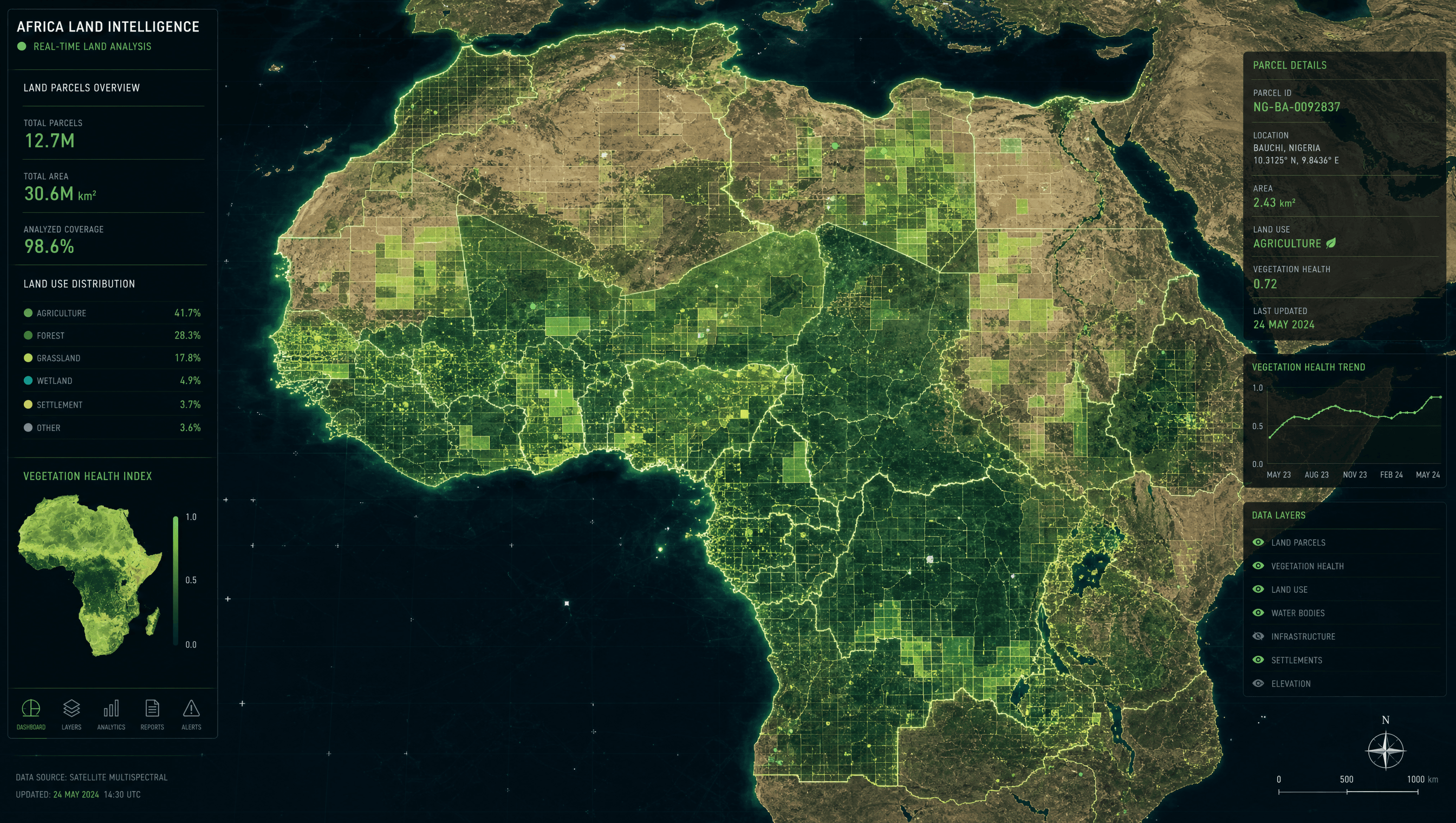
Satellite data + 10 years of field experience
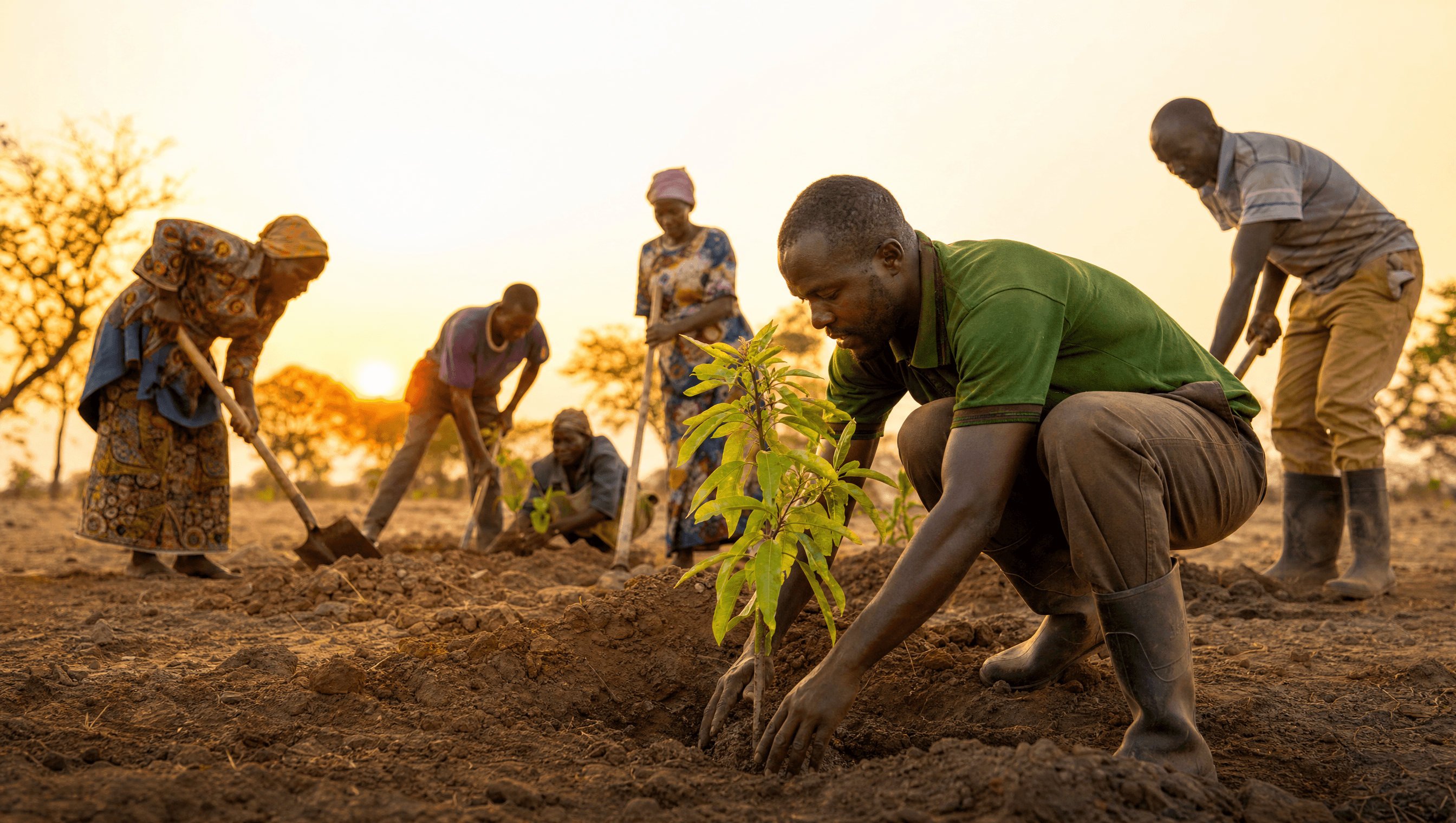
A dedicated expert is assigned to your project. They analyse your land using satellite imagery, regional land databases, and the knowledge we've built over a decade developing projects in Nigeria, Uganda, Cameroon and Kazakhstan. We look at what the land has been, what it is now, and what it could become.
What you receive:
A 70+ page report — and a personal debrief.
Everything assessed. Nothing left unchecked.
You receive a comprehensive 70+ page feasibility report covering every material aspect of your project — land baseline, additionality, carbon potential, certification pathway, risk register, financial projections, and development roadmap. All produced remotely from satellite data and expert analysis. No site visit required.
What we cover:
Ready to get started?
A 70+ page independent feasibility report — everything assessed remotely. $7,500 flat fee.
Start your study →